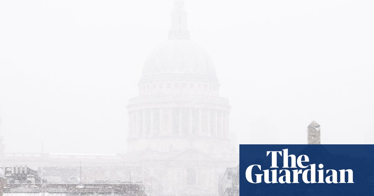


The polar vortex has flipped direction, signalling the earliest “major sudden stratospheric warming” ever observed. We examine how it is likely to affect you and whether it will bring snow.
It is a circle of strong winds in the stratosphere, about six to 30 miles (10 to 50km) above the surface of the Earth, that usually blow in a westerly direction around the Arctic, creating an insulating ring between the cold air mass closer to the north pole and warmer air further south.
The vortex relocates or splits in two, which allows cold air from high altitudes and the pole to spill down over northern Europe, north America, Siberia, Japan and other parts of east Asia.
This part of the stratosphere is thought to have warmed by up to 50C in just a couple of days as a result of large atmospheric waves spreading up from the troposphere, the lowest and densest layer of Earth’s atmosphere.
Not always, but in this case, yes, for at least some parts of the northern hemisphere in the coming weeks.
The polar vortex is part of the climate system. Any disruption has knock-on effects. In the north Atlantic, for example, it upsets the jet stream and weather patterns for millions of people.
When the jet stream is weakened or wobbles, chilled air can move south out of the Arctic, often bringing colder, drier spells to northern Europe and north America, while southern Europe tends to become milder, wetter and windier.
Very possibly, but it’s not guaranteed. It depends where high pressure systems form. The UK Met Office released a yellow snow warning on Tuesday for the Midlands, the north east and west of England and south west Scotland.
Yes, sudden stratospheric warming famously led a few weeks later to “the beast from the east” snowstorms that affected the UK in 2018. In the US, it was associated with deadly winter storms in 2021. Similar phenomena were also observed in 2009-10 and 2013. These events usually occur much later in winter, but this year it has happened on 10 November, 18 days earlier than ever before.
The probability of colder-than-average weather tends to continue for between 30 and 40 days after sudden stratospheric warming.
This is a matter for debate, but scientists have found evidence that El Niño conditions, which start with warmer waters in the Pacific, influence planetary waves – known as Rossby waves – that spread across the lower atmosphere and can propagate upwards in the Arctic, raising the chance of sudden stratospheric warming.
Possibly , but the scientific jury is still out. Some researchers say a link is likely . Others are more cautious , noting that early sudden stratospheric warming falls within the bounds of natural variability. Even though this event comes at the end of a year of extreme weather , the bigger question is likely to be filed under “ more study is needed ”.