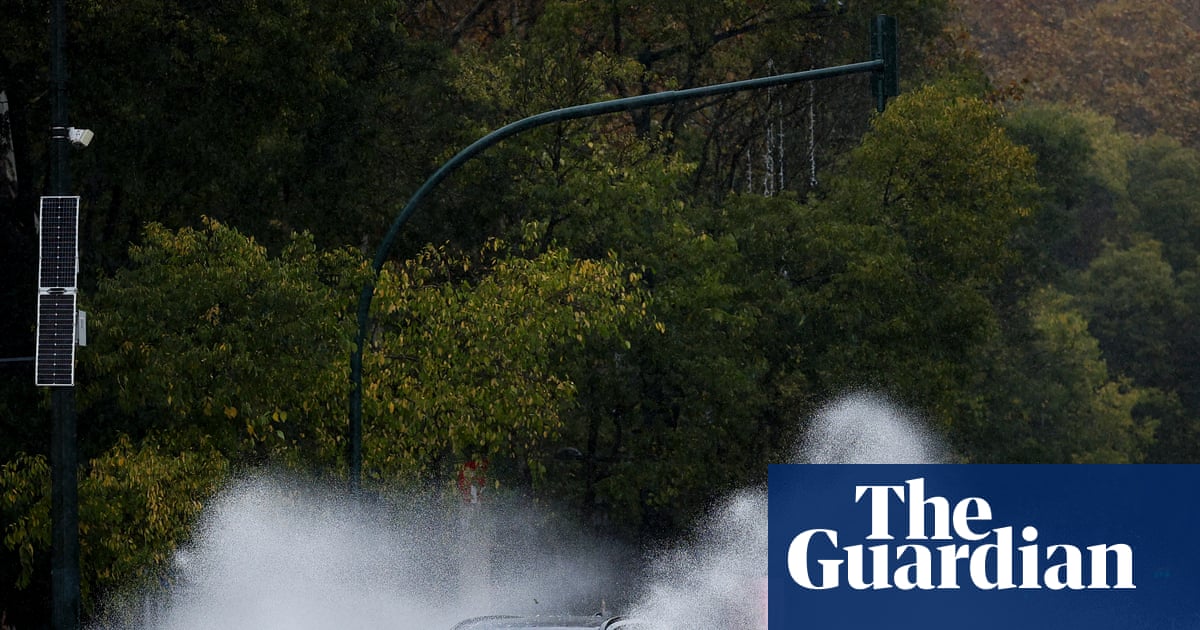
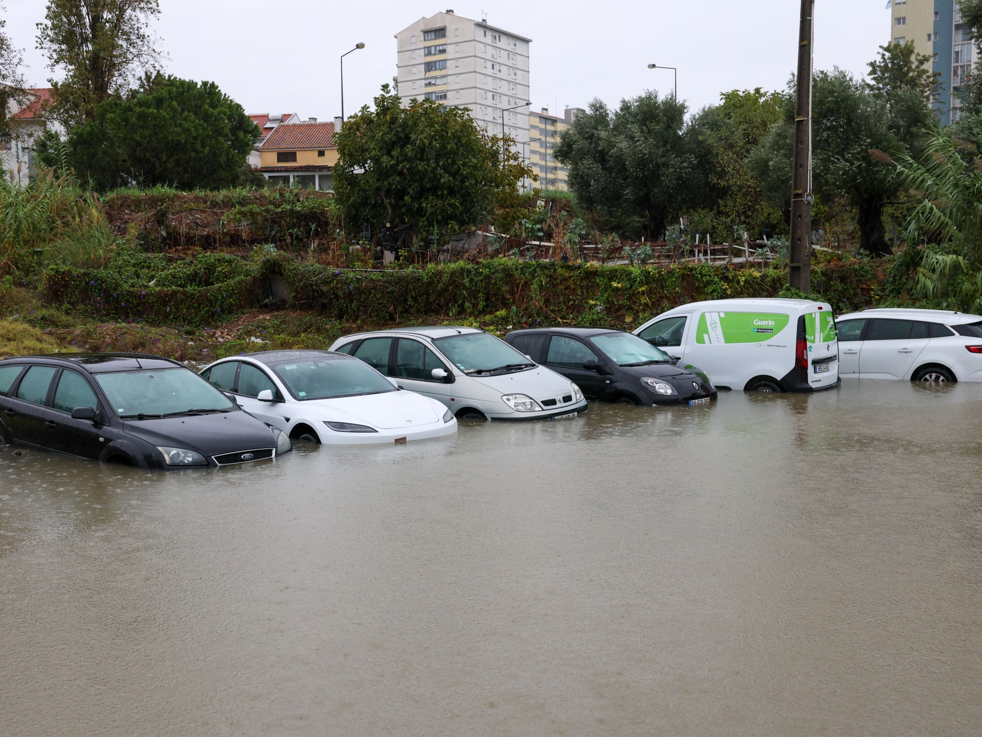
A freak storm tore through south-east Queensland on Thursday, dumping more than 200mm of rain in three hours, leading to flash floods and hundreds of State Emergency Service calls.
Between Wednesday and Friday morning, at least eight weather stations just north of Brisbane in the catchments of the Pine and Caboolture rivers recorded huge 48-hour rainfall totals exceeding 300mm, according to weather tracking site Weatherzone.
While initial forecasts from the Bureau of Meteorology (BoM) predicted that Thursday would be the wettest day of the week in parts of Queensland, the severity of the downpour was unprecedented. Monthly rainfall records were broken in Nambour on the Sunshine Coast, where a running total of 401mm to Friday morning broke the old October record of 370.6mm, and in Beerburrum, in the same region, where the running monthly total rainfall of 354.2mm broke the old October record of 311.5mm.
Earlier this week, the BoM was questioned over false rainfall predictions later revealed to be caused by Bogong Moth migration. There were other times when its forecasts were off track, including in August, when Queensland rain outpaced forecasts, and after the 2023-2024 summer, when the El Niño weather event the bureau had predicted failed to materialise.
Senior lecturer in climate science at the University of Melbourne, Andrew King, said that while weather forecasts have improved immensely over time, "that doesn't mean they're always perfect", especially when it comes to forecasting thunderstorms and rainfall.
Your trusted source for staying up-to-date with the world around you. Get free daily news updates and analysis, straight to your inbox.
"Small-scale storms, which can dump a lot of rainfall and have major impacts, are still hard to predict precisely, as it's difficult to forecast exactly where they'll occur, and that can mean forecast accuracy suffers, even over short timeframes."
Smaller weather events like the thunderstorms in Queensland over the past few days are harder to represent in the models meteorologists use to simulate the atmosphere, he said.
Dr Michael Barnes from Monash University's School of Earth, Atmosphere and Environment told SBS News that while there had been vast improvements to the technology used to forecast weather, there were "limits to what is physically possible".
"Events such as thunderstorms that deliver 200 millimetres of rain within 24 hours are driven by highly localised atmospheric processes," he said.
"When weather is highly localised, even a small error can mean the storm's path or location isn't forecast particularly well.
"We often cannot know exactly where those storms will form or how intense they will become."
"A seven-day forecast today is about as accurate as a two-day forecast was 40 years ago," Barnes said.
"There have been three major drivers of improved weather forecasting: better scientific understanding, greater computing power, and more observations.
"Twenty years ago, a forecast might have said that moderate rain was expected tomorrow afternoon. Today, people have weather apps that provide hourly rainfall forecasts and detailed estimates of expected precipitation."
But he said that also meant expectations of weather forecasting have become much higher.
King agreed that there were higher expectations on the BoM, which he said had "certainly" come under scrutiny in recent years.
"Part of that is because Australians are relatively knowledgeable about climate drivers such as El Niño and La Niña. However, that understanding can sometimes become oversimplified."
But he warned that general understanding can sometimes "oversimplify" complex systems.
"People often hear 'El Niño' and assume conditions will be hot and dry. In reality, El Niño merely increases the likelihood of those outcomes; it doesn't guarantee them."
Many factors influence Australia's weather, including the Indian Ocean, the Southern Ocean, Antarctica and tropical regions to the north.
"El Niño and La Niña are only part of the picture," he said.
"To be fair to the Bureau, it has tried to shift attention away from a narrow focus on those weather events and encourage people to pay more attention to seasonal outlooks, which incorporate all these influences."
SBS News has contacted the BoM for comment.
When it comes to severe weather events, Barnes said, climate change "complicates things".
"Particularly in situations like the recent event in south-east Queensland, there is good evidence that daily and even sub-daily rainfall extremes are intensifying, primarily driven by thunderstorms," he said.
Produced by "the inherent chaos of the atmosphere", thunderstorms would continue to be challenging to predict.
While climate change doesn't necessarily reduce meteorologists' technical ability to forecast weather, it can affect how forecast accuracy is perceived.
Difficult-to-predict weather phenomena, such as localised severe thunderstorms, may be becoming "more consequential".
"As a result, it can appear that forecasts are becoming less reliable when, in reality, the impacts are increasing," Barnes said.
King from the University of Melbourne said climate scientists had discussed the tendency for "El Niño to become a scapegoat for everything that's happening in the climate system".
When people see severe weather during a strong El Niño, they naturally assume El Niño is the cause; however, climate change is operating in the background and is amplifying many extreme weather events.
"Climate change hasn't gone away. It's continuing to worsen as greenhouse gas emissions increase."
And climate change is "already" making extreme weather events worse, particularly heatwaves, which in Australia are more intense, more frequent and longer-lasting because of climate change.
But he said that as Australia's weather worsened, he understood the tendency to attribute severe weather to big events like El Niño and La Niña.
"There's a natural human desire to make sense of things that are difficult to understand," he said.
"Weather and climate are complicated, and reality is often more complex than it first appears."