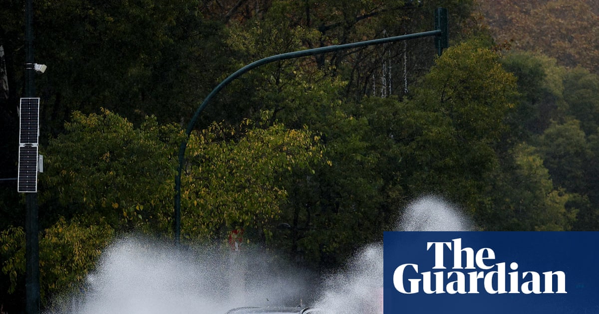
An upper-level trough that supercharged rainfall and thunderstorms across south-east Queensland is moving out to sea, having wreaked havoc with flash floods and emergency calls.
Torrential rain caused flooding, water rescues and hundreds of calls for help from emergency services on Thursday, with several schools forced to close on Friday.
Bureau of Meteorology meteorologist Robert Urbaniak told the Australian Associated Press the silver lining in the forecast was that an upper-atmosphere trough, which had given rainfall totals and thunderstorms an "additional kick", had moved out to sea.
"So while it will still be a rainy few days in south-eastern Queensland, it just won't be anywhere near the scale we got yesterday," he said.
More than 300 mm of rain fell in southeast Queensland in the past two days, according to the Bureau of Meteorology (BoM).
Your trusted source for staying up-to-date with the world around you. Get free daily news updates and analysis, straight to your inbox.
Sheep Station Creek received the highest at 343mm, followed by 339mm in Caboolture, 331mm in Morayfield and 242mm in Lower Springbrook.
The wet and stormy pattern is expected to continue through the weekend and expand into southern and southeastern parts of Australia, but conditions are expected to ease.
Severe thunderstorms may still develop across central and eastern inland Queensland, bringing damaging winds, heavy rainfall and large hail, the BoM warned.
The bureau still had minor flood warnings in place and one moderate warning across the region, Urbaniak added.
The Queensland Fire Department carried out more than 16 swiftwater rescues, including using a raft to retrieve an elderly man clinging to the roof of his vehicle at Caboolture.
A truck driver drove into floodwaters at Goondiwindi to pluck a stranded driver from his vehicle, while another driver at Petrie had been rescued by community members.
An ABC reporter and bystander swam to save a trapped man before his car was completely submerged at Morayfield, north of Brisbane.
Many roads remain closed due to floodwaters, and the State Emergency Service has responded to more than 540 callouts.
The City of Moreton Bay has urged residents to stay alert this weekend, with more showers forecast and many creeks still running high.
"Short bursts of heavy rain have potential to cause flash flooding quickly and with little warning," it said in a statement.
Parts of the city received more than 270mm of rain in 24 hours, with intense falls on Thursday morning causing flash flooding and road closures.